Vue : slider: Homeslider
-
IT’S TIME FOR TUNISIA
Custom text
Tunisia is a captivating destination unlike any other. One that will surprise and delight you in so many memorable ways.
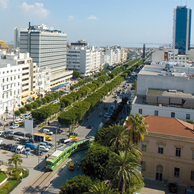
And with a variety of hotels from all inclusive resorts to luxury and boutique hotels, it’s also one of the best value destinations on the Mediterranean with something for everyone
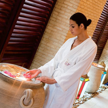
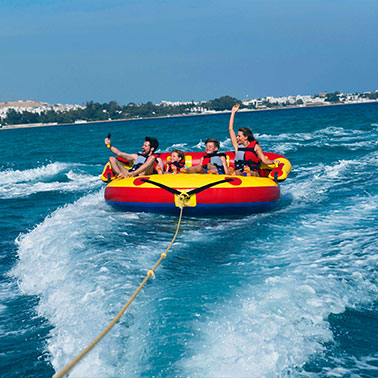
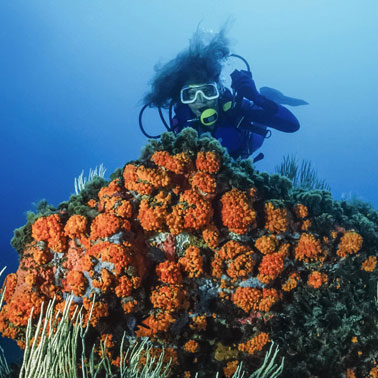
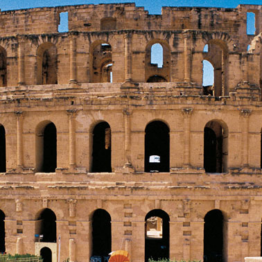
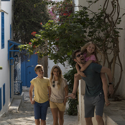
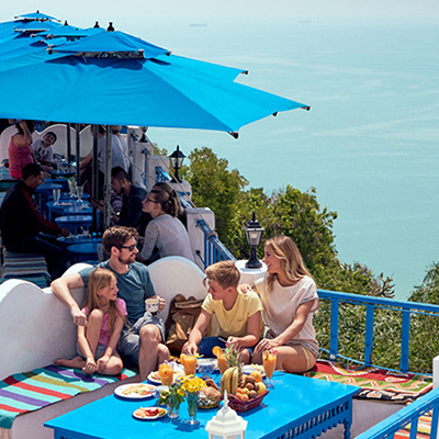
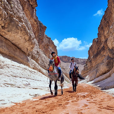
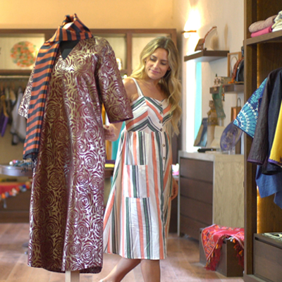
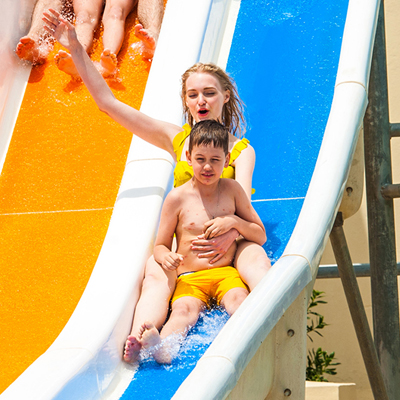
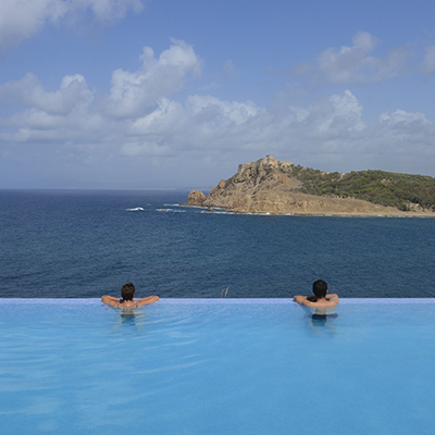
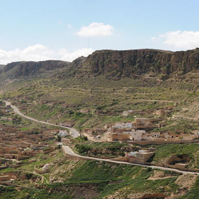
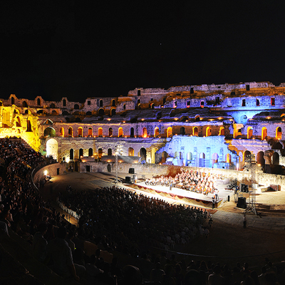
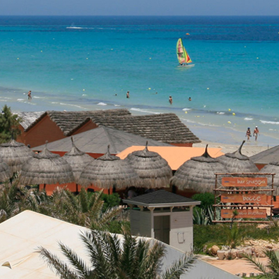
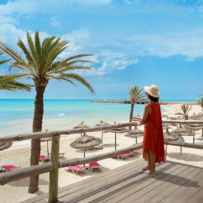
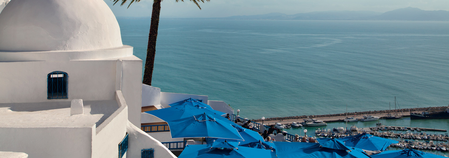
Sun-seekers will relish the warm weather and some of the best beaches on the Mediterranean. Those who prefer their holidays action-packed will be able to try every watersport under the sun along the 800 miles of coastline, or stay inland for desert thrills such as quad biking and sand boarding. And for those into history, Tunisia is home to some of the world’s finest Roman ruins, as well as eight UNESCO World Heritage Sites. The bustling souks and medinas are the perfect place to go for unique, handmade crafts and you’ll never be too far from a café or restaurant offering delicious food, chilled wine and refreshing local lemon juice. There are also world-class golf courses, luxurious spas specialising in Thalassotherapy and when night falls, Tunisia’s thriving bar and club scene means you can dance the night away.
There’s so much more to discover about Tunisia, so click on any of the stories below and find out why now is the perfect time to visit